
Explore the Southern Thornlands PDA
Maps
Explore the Southern Thornlands PDA using our interactive maps, download a high-resolution PDA map for easier viewing or printing, and open the official government planning maps used as source material.
Our maps are designed to make the planning information easier to understand. Where the source planning is indicative, our maps remain indicative; the official government documents remain the authoritative source.
Interactive overview
Explore the PDA by map layer
Start with the PDA boundary, current roads and parcels, then switch planning, infrastructure and environmental layers on or off to compare them in one place.
Use the checkboxes to compare layers. For detailed explanations and certainty notes, open the relevant planning page below.
High-resolution PDA map
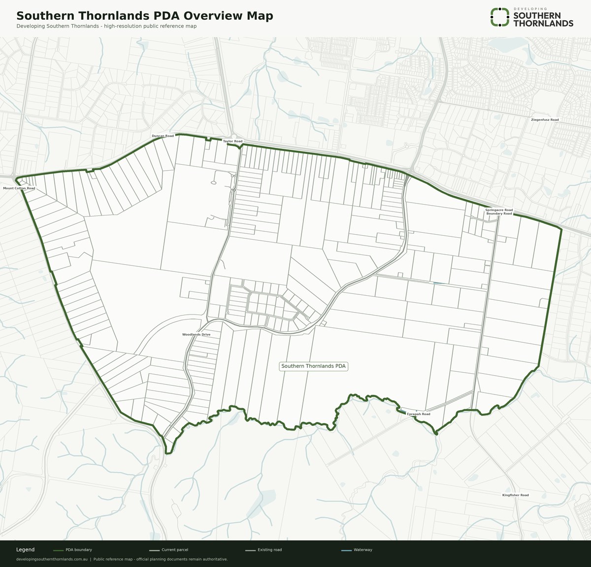
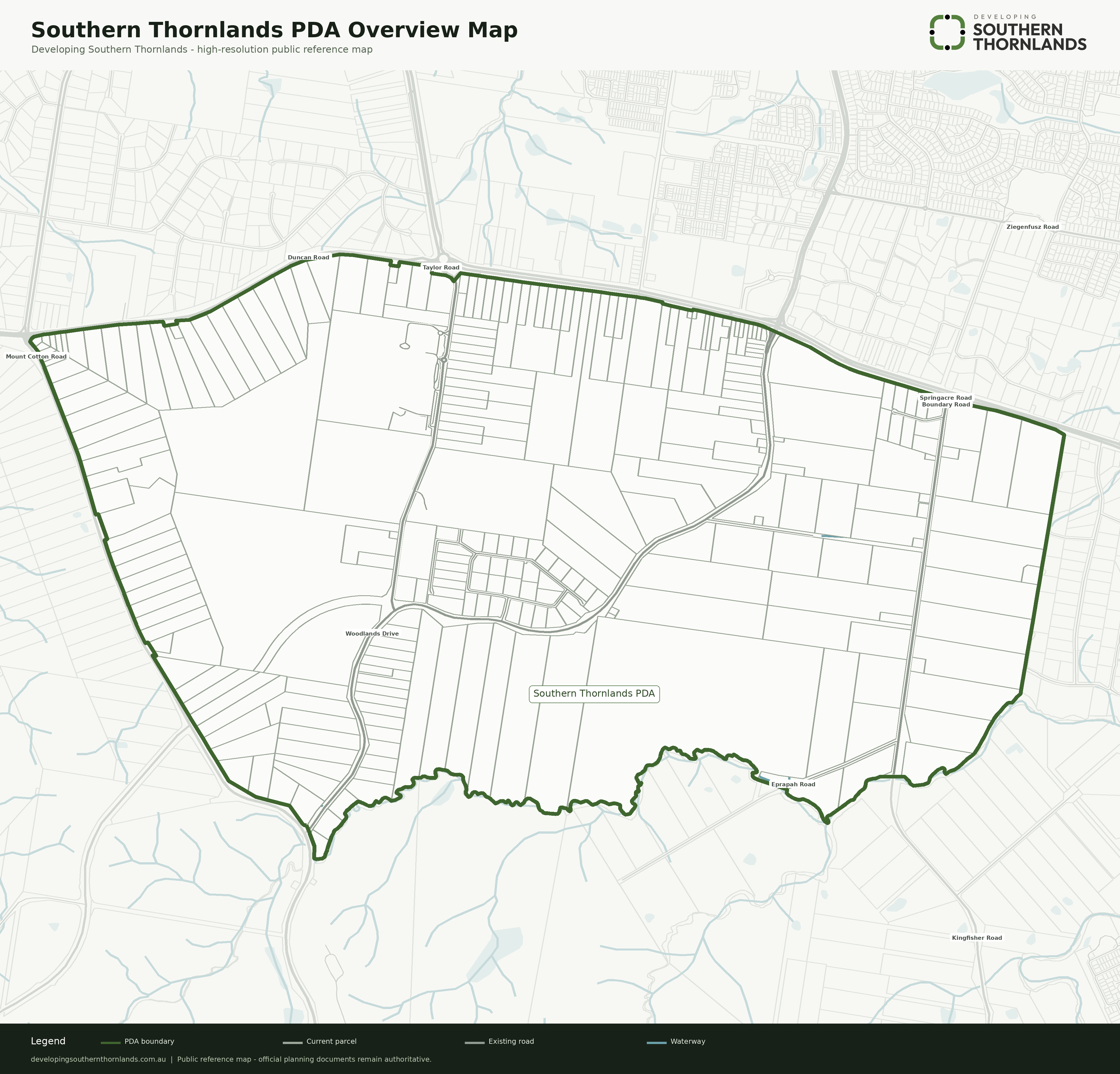
Download our Southern Thornlands PDA overview map
A clean, branded overview map designed for easier viewing, reference and printing. The high-resolution version uses our current public map foundation and should be read alongside the detailed planning pages and official source material.
Custom map tool
Build your own high-resolution PDA map
Choose the planning, infrastructure and environmental layers you want, zoom or drag to frame the exact area, then export a branded high-resolution map with an automatic legend and source notes.
Detailed maps
Explore maps by topic
The overview map is useful for comparison. The individual planning pages explain what each mapped area, point or alignment actually means.
Authoritative source material
Official Southern Thornlands PDA planning maps
These numbered maps are part of the official Development Scheme material and remain the authoritative source behind much of the planning information organised on this website.
Maps 1–11 are contained within the official Development Scheme document.
View all these maps in the official Southern Thornlands Development SchemeHow to read the maps
Not every mapped feature has the same level of certainty
A planning area with a drawn boundary on the source map. The boundary may still be refined through later planning or development processes.
A broad location, such as a proposed-school marker, rather than a final site boundary.
An intended connection or route, such as many future roads, whose final position may change.
A road, school, parcel or other feature that physically exists today and is shown for context.